A preliminary check point list is ready. 65 checkpoints from Landsort in the south to Söderarm in the north (150 km apart) constitutes the playground of the 2018 Stockholm Archipelago Raid.
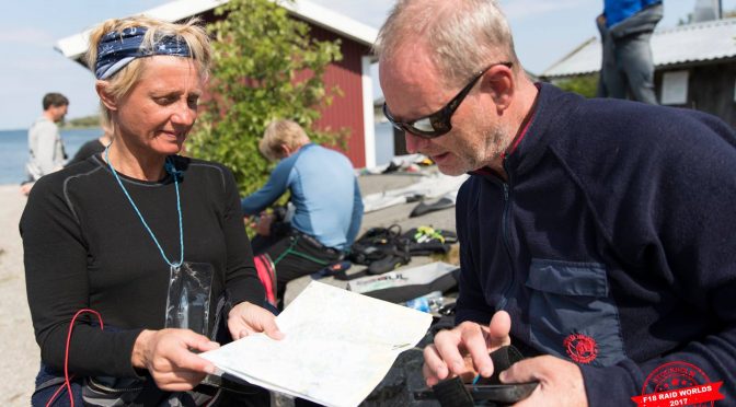
The checkpoints will be distributed to the teams in Excel and GPX-format in advance. A water proof paper chart will also be handed out to all teams to plot the Check Points using a waterproof pen. The paper chart will be used for planning purpose to find the best ways through the groups of islands, while the GPS with plotter will be most useful to dodge the underwater rocks along the way.
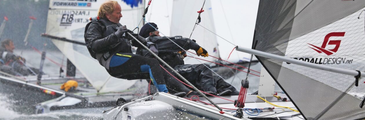
The basecamp at Sandhamn is situated in the middle of the archipelago making it possible to go to the north one day and to the south another. The sailors are not likely to pass the same patch of water more than once during the 4 days of racing.
Each morning at the briefing the sailors will get the list of check points to be used that day during the 2 or 3 legs. A typical first leg can look like this:
- Start outside basecamp
- East of CP25
- South of CP 15 (within 50 m)
- Round CP 10 from south to north
- Finish CP 9 Fredlarna
At CP 15 the RC boat will show a white board telling the sailors if they shall proceed to CP 10 Svenska Högarna or if they shall go directly to CP 9 Fredlarna for safety reasons. It could also be that the first ten or fifteen boats can go around CP 10, while the second part of the fleet shall proceed directly to CP 9 (2 points deducted and a boat that goes the shorter distance can never beat a boat going the full distance). At CP 9 there will be a short rest and food break and restart about 30 minutes after the last boat finished the previous leg.
The second leg take the sailors up to Söderarm in the North (CP43) before a second break at Rödlöga (CP7). The third and final leg of the day takes the sailors through the narrow straights of Stora Nassa (CP18) and Björkskär (CP19) before finish in the harbour of Sandhamn (CP26).
The aim will be to use check points that give the sailors different options to round the islands and also to have both upwind, downwind and long reaches during the races. Some of the check points are situated in the middle of a group of rocks and islands in order to force all sailors to pass these magic places in the archipelago.